
The Colorado Avalanche Information Center (CAIC) recently launched a new suite of interactive avalanche tools, featuring a custom basemap I had the pleasure of designing in collaboration with CAIC staff.
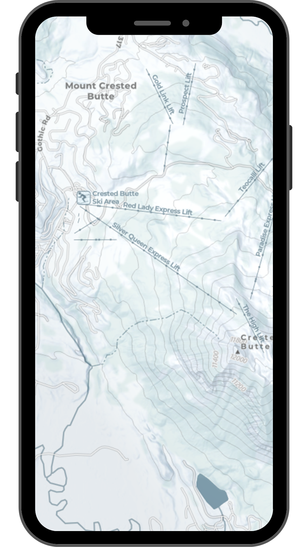
The goal was to create a refined, brand-aligned map that would improve the clarity and usability of CAIC's online forecast tools while providing a better experience for winter backcountry users.
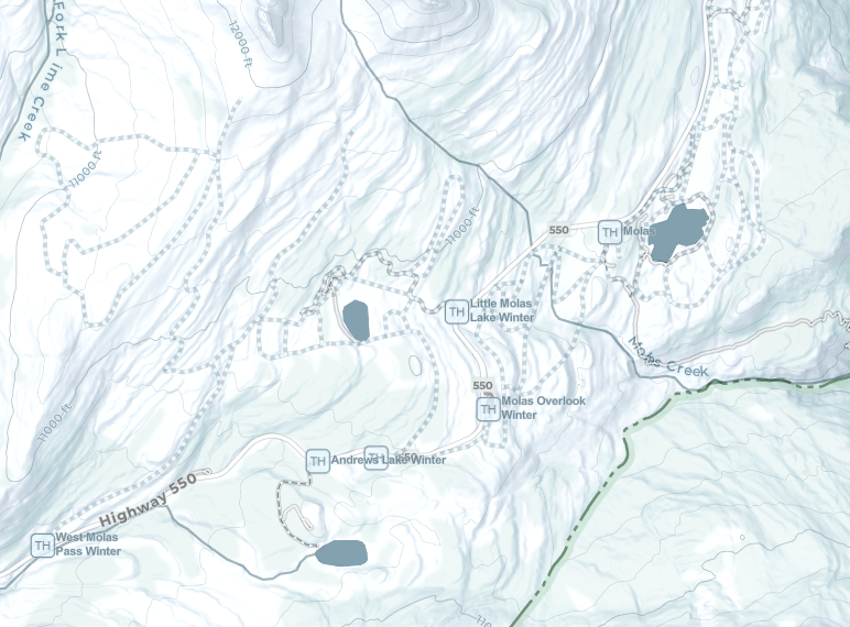
The custom ArcGIS basemap is tailored specifically to winter recreation. The muted, icy-blue palette provides a clean, understated backdrop for the information that matters most: avalanche danger ratings, terrain, and winter travel routes.
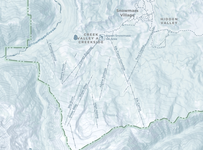
The basemap highlights winter-specific features, including trailheads, ski areas and lifts, backcountry huts, over-snow routes, forecasting stations, summits, elevation contours, and winter roads.
Every feature, icon, and label was carefully designed according to a consistent visual language and typography. The result is an informative and engaging basemap that refreshes CAIC’s classic products and enhances the experience of planning and navigating backcountry winter terrain.
It’s exciting to see this map “in the wild” and supporting CAIC’s life-saving work, helping people make informed decisions in Colorado’s mountains.
