
Winner! Best Layout in the Esri Map Gallery!
My Black Mesa map just won Best Layout for Print at the 2025 Esri User Conference Map Gallery! The winners represent the "most visually stunning maps" that "exemplify cartographic excellence"—and I’m still in shock. Moments like these drive home the impact that maps have to tell our most important stories.

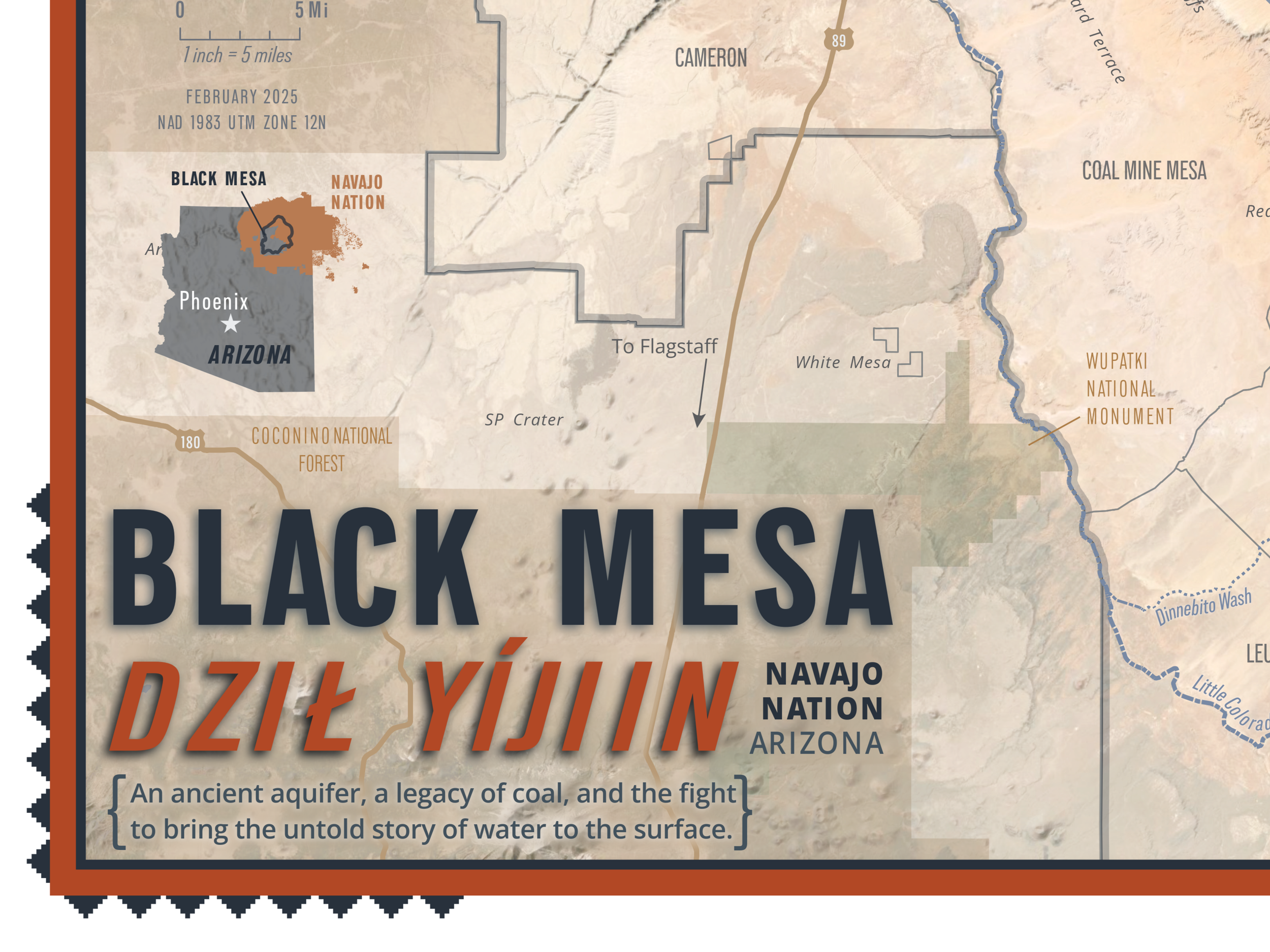


This project, made in collaboration with Tó Nizhóní Ání, started as an effort to map water sources on Navajo and Hopi tribal lands became a chronicle of what was missing—lost springs, undocumented wells, and historic windmills that no longer appear in modern records. It evolved into a visual record of absence, supporting TNA’s mission to protect Black Mesa’s water from industrial exploitation. Every design choice—from color palette to basemap—was carefully crafted to honor the land and the community's deep connection to it.
🔗 See the map: Esri Map Gallery
🔗Learn more (and get your very own copy of this map): Tó Nizhóní Ání